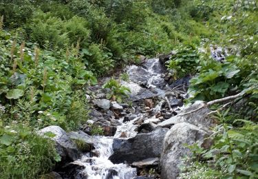
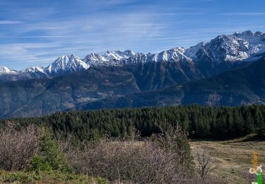
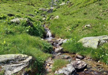
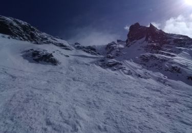
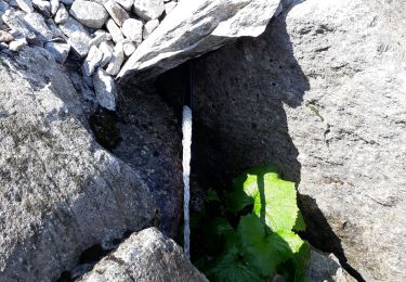
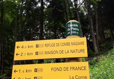
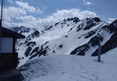
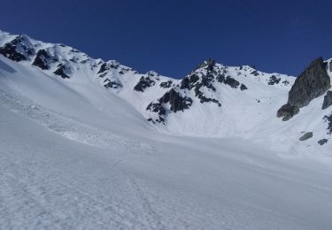
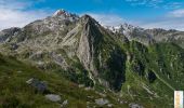
Trail Walking Le Haut-Bréda - La Croix de Chaurionde - Photo
 tracegps
tracegps

User

© OpenStreetMap contributors
Length
Length
10.4 km
Max alt
Max alt
2205 m
Uphill gradient
Uphill gradient
1150 m
Km-Effort
Km-Effort  
26 km
Min alt
Min alt
1097 m
Downhill gradient
Downhill gradient
1150 m
Boucle
Boucle
Yes
Creation date :
2014-12-10 00:00:00.0
Updated on :
2014-12-10 00:00:00.0

(0 Reviews)

Walking
Walking
7h30
Difficulty : Difficult

Scan this QR Code to open this trail in the SityTrail application

FREE GPS app for hiking

Logo SityTrail SityTrail

IGN / Geographical institutes

Download SityTrail from the App Store Download SityTrail from Google Play

Logo SityTrail SityTrail World

The world is yours!

Download SityTrail from the App Store Download SityTrail from Google Play Download SityTrail on Huawei AppGallery

About

Trail Walking of 10.4 km to be discovered at Auvergne-Rhône-Alpes, Isère, Le Haut-Bréda. This trail is proposed by tracegps.

Description

Beau belvédère, la Croix de Chaurionde est une antécime de la longue Crête du Mouchillon. Au dessus de Fond-de-France, à la porte du Massif des Sept-Laux, c'est un endroit sauvage encore préservé, repère de nombreux chamois. Empruntant l'itinéraire des Deux Ruisseaux, la montée hors sentier à la croix est rude dans un couloir herbeux. Ensuite trois possibilités s'offrent au randonneur, descendre par le même itinéraire, poursuivre jusqu'aux Pointes du Mouchillon et, traverser pour atteindre le Col du Mouchillon par la crête éponyme. La fatigue et le temps menaçant auront raccourci le projet de traversée… Description complète sur sentier-nature.com : La Croix de Chaurionde Avertissement [Franchissement 2/3 ; Pénibilité 3/3]. Certains passages de cet itinéraire de montagne sont escarpés et/ou exposés, il est déconseillé aux enfants non accompagnés et aux personnes sujettes au vertige. Pour votre sécurité, nous vous invitons à respecter les règles suivantes : être bien chaussé, ne pas s'engager par mauvais temps, ne pas s'écarter de l'itinéraire ni des sentiers.

Elevation profile

Photos

Positioning

Country:
France
Region :
Auvergne-Rhône-Alpes
Department/Province :
Isère
Municipality :
Le Haut-Bréda
Location:
La Ferrière
Start:(UTM)
270420 ; 5018288 (32T) N.

Trails nearby

Trail Walking Le Haut-Bréda - Lac Blanc Lac de la Folle - Photo
Walking
GUIDE
nadinebondoux

Walking

Very difficult
(1)
Le Haut-Bréda, Auvergne-Rhône-Alpes, Isère, France
12.2 km | 28 km-effort
6h 59min
Yes
Trail Walking Crêts-en-Belledonne - Le Grand Rocher 1926m, depuis le Foyer du Barioz - Photo
Walking
tracegps

Walking

Medium
(3)
Crêts-en-Belledonne, Auvergne-Rhône-Alpes, Isère, France
9.7 km | 16.6 km-effort
5h 30min
Yes
Trail Walking Le Haut-Bréda - Combe du Prat - Photo
Walking
GUIDE
nadinebondoux

Walking

Medium
Le Haut-Bréda, Auvergne-Rhône-Alpes, Isère, France
9.5 km | 16.7 km-effort
3h 18min
Yes
Trail Touring skiing Le Haut-Bréda - Belle Etoile et Pic des Cabottes couloir S - Photo
Touring skiing
GUIDE
nadd73

Touring skiing

Very difficult
Le Haut-Bréda, Auvergne-Rhône-Alpes, Isère, France
15.7 km | 38 km-effort
8h 4min
Yes
Trail Walking Le Haut-Bréda - Les lacs sept Claux - Photo
Walking
GUIDE
nadinebondoux

Walking

Difficult
Le Haut-Bréda, Auvergne-Rhône-Alpes, Isère, France
12.8 km | 27 km-effort
6h 56min
Yes
Trail Walking Le Haut-Bréda - cascade du Pissou - Photo
Walking
GUIDE
nadinebondoux

Walking

Medium
Le Haut-Bréda, Auvergne-Rhône-Alpes, Isère, France
5.9 km | 8.9 km-effort
2h 3min
Yes
Trail Touring skiing Le Haut-Bréda - cime de la Jase, col de la pouta, col de l'évêque - Photo
Touring skiing
GUIDE
nadd73

Touring skiing

Medium
Le Haut-Bréda, Auvergne-Rhône-Alpes, Isère, France
12.5 km | 34 km-effort
8h 54min
Yes
Trail Touring skiing Le Haut-Bréda - pic de la belle étoile, vers la dent du Pra - Photo
Touring skiing
GUIDE
nadd73

Touring skiing

Medium
Le Haut-Bréda, Auvergne-Rhône-Alpes, Isère, France
9.6 km | 26 km-effort
7h 16min
Yes
Trail Other activity Le Haut-Bréda - Rocher Blanc 7 Laux - Photo
Other activity
loicthev

Other activity

Very difficult
(1)
Le Haut-Bréda, Auvergne-Rhône-Alpes, Isère, France
18.9 km | 44 km-effort
11h 2min
Yes


Close
My subscriptions